G2 TEAM 7

Ex-Schools Me! is a project under the module SMT201 Geographic Information Systems for Urban Planning by Professor Kam Tin Seong in Singapore Managament University (SMU).
Our group has chosen Theme 2: 'Geography of Accessibility with GIS-based Network Analysis' and we decided to focus on Sub-Theme 1: 'Impact of Closures or Mergers of Education Institutions on Equity of Access'.
Since these schools closed after the mergers, we aptly coined the phrase Ex-Schools as part of our name.
Motivation:
The impacts of the mergers of education institutions that affects the equity of access by people.
Research on how mergers affect people
Shortest path (The distance that people have to travel to school)
Network analysis on how the transportation changes from different education levels e.g. Primary School vs Secondary School (Analyse how accessible the education institutions are from neighbourhood buildings)
Data Used:
The data used are as follows:
- Data.gov (School Directory and Information 24 March Year 2021)
Additional Data Created:
- Created additional CSV files to input all mergers of different years, merged schools in Year 2019 and future merges Year 2022 - Year 2024
Scope of work:
Levels studied - Primary, Secondary, Post-Secondary
Time frame: Past mergers - 2019, Current - 2020-2021, Future mergers - all announced from 2022-2024
Transport Analysis for Anderson Junior College and Serangoon Junior College
Objectives:
The objective of this project are as follows:
Objective 1: Prepare accessibility maps to identify and compare the change in accessibility over the years for the 3 levels of education
Objective 2: Prepare a catchment map to prove and understand the decisions of certain school sites over others for merged schools
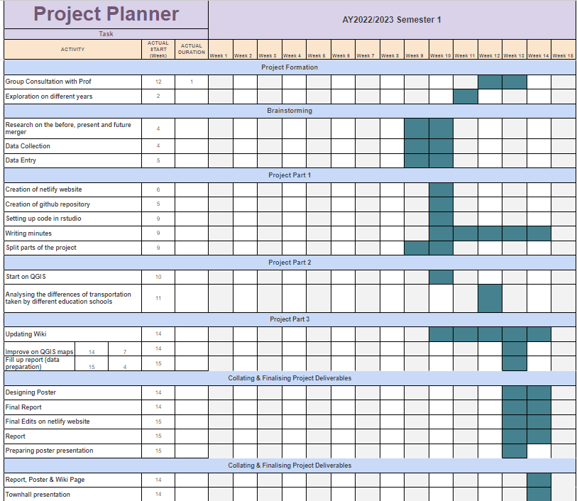
Project Timeline (Gannt Chart)
The project timeline are as follows:
For clearer view: Gannt Chart
Project Links:
Our Github Link: https://github.com/ShuYing0506/GISProject
Setting up Netlify: https://app.netlify.com/sites/smtgroup7/settings/domain
Slack workspace: https://smt201group7.slack.com